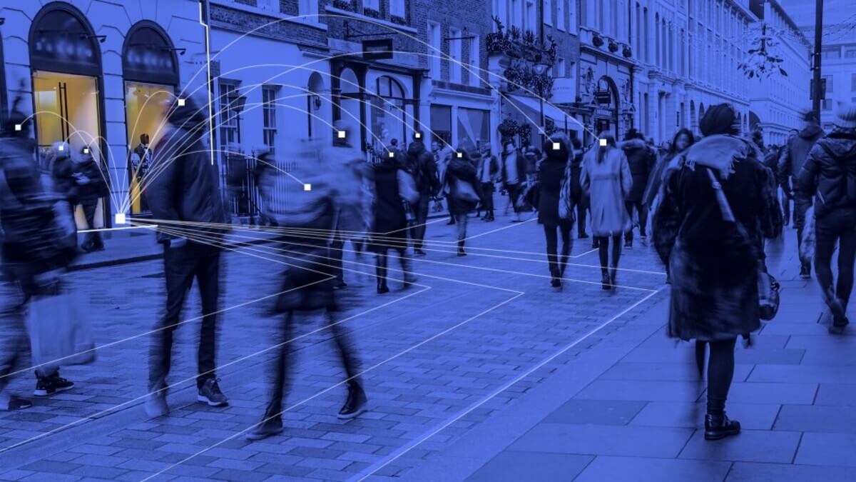
Polygoning is the process of drawing custom geographic boundaries on a map to define a specific area for targeting ads or analyzing data. Unlike simple radius or postal code selection, polygons enable precise location targeting that accurately reflects real-world geography.
In advertising, especially digital out-of-home and mobile campaigns, polygoning is used to identify where ads are shown and where the audience goes before or after exposure. It is a key tool in measuring performance and refining strategy.
How Polygoning Works
A polygon is a digital shape made up of points connected to form a boundary. These boundaries are drawn around specific places such as a convenience store, a plaza, a government service centre, or an entire neighbourhood.
Once the polygon is created, advertisers can:
Measure Foot Traffic
Track how many people enter or pass through the polygoned area using mobile device signals.
Attribute Campaign Performance
See if people who were exposed to an ad later visited a store or took another action.
Create Custom Audiences
Build mobile audiences based on behaviours such as visiting a competitor or attending an event.
Retarget Visitors
Serve ads to mobile users who were inside the polygon at a specific time.
Why It Matters in OOH and DOOH
In static and digital out-of-home campaigns, polygoning bridges the gap between exposure and outcome. For example, Adapt Media can polygon its digital screen locations in convenience stores or gas stations, then track how many mobile devices were present and whether those users later saw a mobile ad or made a store visit.
This makes it possible to:
- Measure campaign reach
- Link exposure to action
- Prove value with real-world data
- Inform future media placements
Polygoning vs Radius Targeting
Traditional radius targeting draws a circle around a location, but that often includes irrelevant spaces such as highways, industrial land, or residential zones where your ad may have no value.
Polygoning is more accurate. You can outline the exact footprint of a store, plaza, or public service location, excluding the noise and focusing only on high value zones.
Where Polygoning is Used
- Convenience store advertising networks
- Gas station pumps
- Transit hubs & vehicles like buses
- Government service centres
- Shopping plazas
- Events and venues
- Competitor locations
Final Word
Polygoning makes your campaigns smarter and your results clearer. It helps advertisers connect location-based impressions to real outcomes, ensuring their message reaches the right people in the right places.
At Adapt Media, we use polygoning across our national network to support precision targeting and closed-loop measurement. It is one of the ways we deliver national coverage with neighbourhood relevance.

